Downtown Superior History

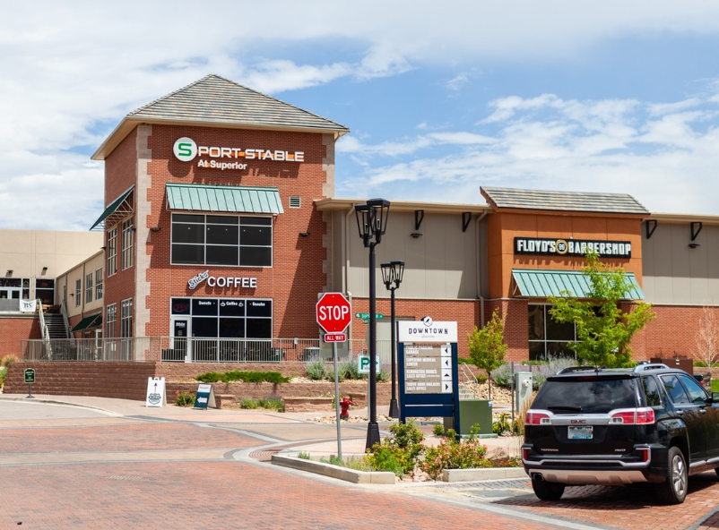
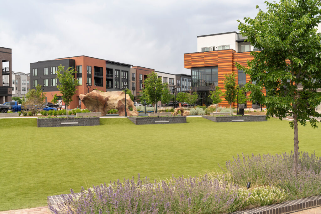
The Town of Superior was founded in 1896; and over a hundred years later the community decided it was time to create an icon downtown to serve as a vibrant civic and commercial hub—a place to gather, connect, and reflect Superior’s small-town character while supporting its future growth.

We recognize that, long before being officially incorporated, this area was the ancestral homeland to Native people from many Indigenous nations, including the Ute, Cheyenne, Comanche, Arapaho, Sioux, and Kiowa. Descendants of these original people remain here, and their historical relationship and connection with this land continues. You can learn more about Colorado’s Native American history and heritage through the nonprofit History Colorado.

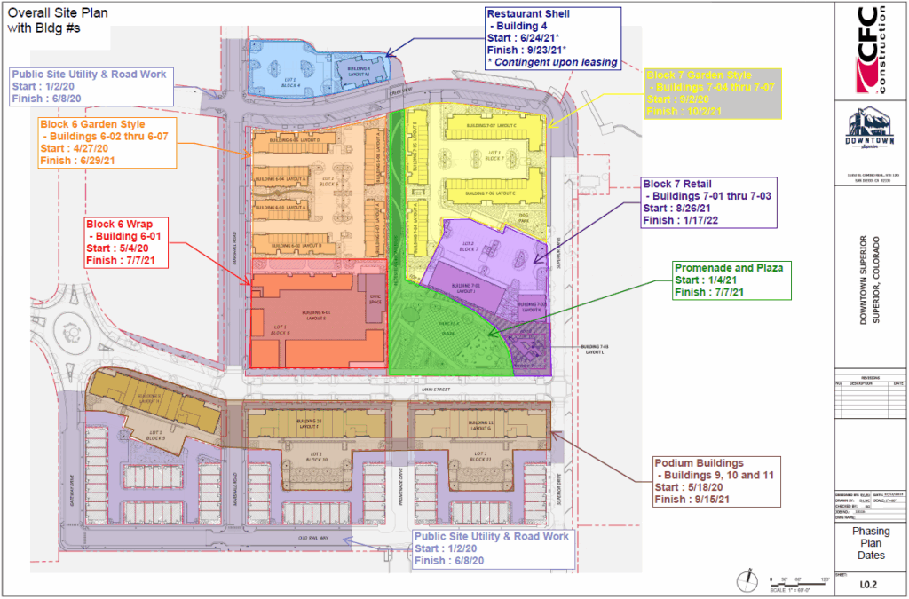
The following is a brief history of events involved in the creation of Downtown Superior.

1997

Annexation of Land

The Town of Superior annexes 156 acres of vacant land, laying the groundwork for what will become Downtown Superior.

Image of black and white planning map of Superior
Image of "Superior Urban Renewal Authority" map

2006

Comprehensive Plan Update

In 2006 the Town of Superior updated its Comprehensive Plan and through that process identified the 180 acre area bounded by Marshall Road extended, McCaslin Blvd., US 36 and Rock Creek ranch as a “Pedestrian-Oriented Town Center” comprised of retail, office and residential uses.

Formation of the Urban Renewal Area

The boundaries of the Superior Urban Renewal Authority (SURA) were expanded in 2006, to the roughly 150+ acres of land east of Town Hall and McCaslin Boulevard, to encompass what is commonly known as Downtown Superior to support redevelopment and infrastructure investment. Property TIF revenues are being used to reimburse a portion of public improvements with Downtown Superior. This reimbursement is capped and can only be repaid if new, incremental property taxes are generated within the Downtown Superior boundaries. This obligation continues through 2038.

2007

Superior New Town Center Design Guide

Through an extensive Community-wide planning process, the Superior New Town Center Design Guide provided both a physical plan and guidelines and standards for developing the New Town Center. This document addressed Urban Form, as it relates to Community Structure, Parking, Street Design, Parks and Open Space, Block and Building Standards, Lighting and Signage.

Early 2010s

Ranch Capital Acquires the Property

Ranch Capital, LLC (RC Superior) purchases the land with plans to develop Downtown Superior, including 817,000 sq. ft. of commercial and retail space, 1,400 homes, and 46 acres of open space.

Ranch Capital also creates and manages the Downtown Superior website and Facebook page.

Image of black and white planning map with various areas of Superior highlighted in different colors
Aerial map of Downtown Superior with various areas marked

2012

Comprehensive Plan Update

In 2012, the Town of Superior completed an update to the Comprehensive Plan and the revised Goal # 3 is Land Use Goal #4: Develop the Town Center as a distinctive central gathering place for Superior—a vibrant, pedestrian-oriented district that offers a variety of specialty shopping, office, entertainment, residential, and community-oriented uses. 

Master Plan Approved

The Town Board approves the Downtown Superior Master Plan in 2012, outlining the vision for a mixed-use, walkable downtown.

2016

Design Guidelines

The Design Guidelines approved in 2016 set the standards used to evaluate all development within the Superior Town Center. Adopted as part of the Planned Development framework, they guide building design, site layout, and overall character to ensure high-quality, cohesive, and sustainable development that supports a strong sense of community.

2017

Construction Begins

Initial construction starts on infrastructure and foundational elements of Downtown Superior.

Image of Main Street
Image of Sports Stable, building exterior

2018

Core Infrastructure + Sports Stable Open

Construction of primary infrastructure is completed.

The Blue Sport Stable opens, becoming an early anchor of the district.

2019

Main Street Mixed Use Plan Approved

The plan for Main Street commercial units, live/work spaces, and multi-family housing surrounding the Town Center is formally approved.

2020

Amendment of the Superior Town Center Planned Development Plan

The Town Center Development Plan was updated in 2020.

Digital map of site plan of downtown
Aerial image of buildings under construction

2021

New Development + Ownership Transfers

Carmel Partners purchases 10.4 acres in the heart of Downtown Superior to build a mixed-use project with 405 multi-family units and Main Street commercial and live/work spaces.

Ranch Capital transfers ownership of public parcels—including the plaza and sidewalks—to the Metro District.

2024

First Main Street Businesses Open

Initial businesses along Main Street officially open, activating the district’s commercial core.

Image of ribbon cutting ceremony for Halcyon
AI rendering of a downtown plaza

2025

Town Takes Ownership of the Plaza

The Town of Superior acquires the Downtown plaza from the Metro District, solidifying long-term public stewardship of this community space.

Future Development

Downtown Superior continues to evolve, with additional projects and opportunities on the horizon. Discover how the downtown vision is becoming a reality: